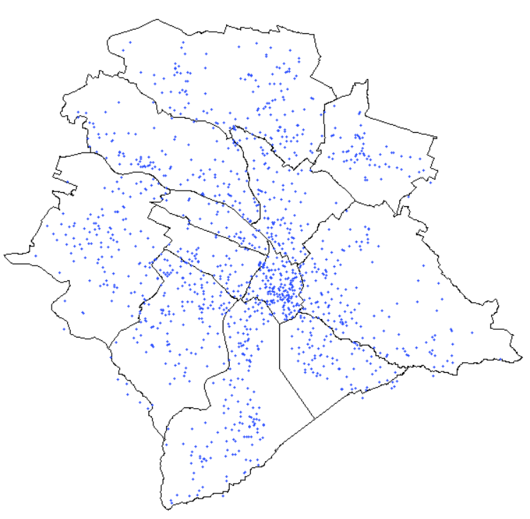
Using SPARQL and R and to plot the open data coordinates of fountains onto a shape file
This is an attempt to use the R SPARQL package to query the approx. 1200 fountains of Zurich from Wikidata and to plot their coordinates onto the Open data shape file provided by the City of Zurich.
The coordinates that the query returns are then plotted. identify() is used so that the user can click onto a fountain on the map. The selected fountain will then be shown in the Wikidata resource in the user's default browser.